Creating maps
Back to ADV GIS
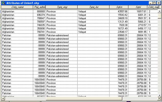
Theme table for the project is shown in Figure 4. The following maps were created using ArcView 3.3. and ArcMap 8.1
Figure 4. Theme Table for the project.
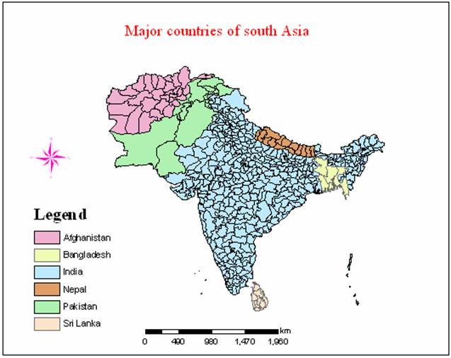
Figure 5.
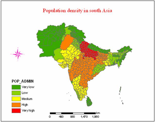
Figure 6.