New York State
Population Project
For my Geovisualization course, we're not only building our own websites, but we're
carrying out a semester-long population study for a state of our choice. I'm looking at
New York
State and how population changed by county from 1900 to the present.
Check out the data and some relevant
links below.
A little bit about the course:
GEOG 50195: Geovisualization
This course features hands-on labs working with open-source mapping software, 3D
maps, image editing, and Google Maps. The semester project focuses on developing a
series of maps to illustrate population change in a selected state
New York State
-
Capital:
Albany
- Population (2012
est.): 19,570,261
- State
Motto: Excelsior (Ever
Upward)
State Flag
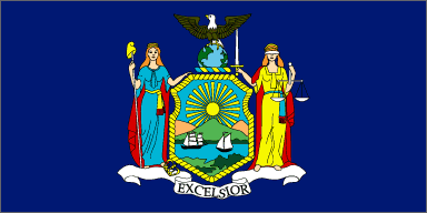
State
Flag from 50states.com
Population Data